 |
| We first started with the base map. |
 |
| Then I put the elevation layer of the site of interest on to the base map. |
 |
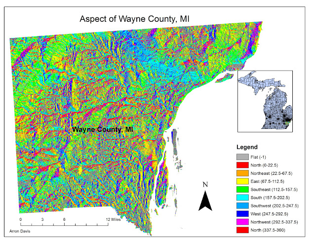
| I used the Aspect tool, to show where the sunlight is coming from. The South and the Southwest locations that have an aspect between 157.5 and 247.5 degrees are optimal for maximum sun exposure. |
 |
| This is the slope. The green and yellow areas of the slope raster represent gentle terrain, while the orange and red areas represent steeper areas. |
 |
| In this one, I had to manually recalculate the aspect from the previous one to get them into a ranking scale of 1 to 5, with 1 being least suitable and 5 being the most suitable. |
 |
| This time I reclassified the distance to the freeways. |
 |
| And here too, I reclassified the slope. |


