 |
| First, I calculated the Slope for the surface of Wayne County, MI |
 |
| Then, I calculated the profile curvature of Wayne County |
 |
| The hillside also was calculated. |
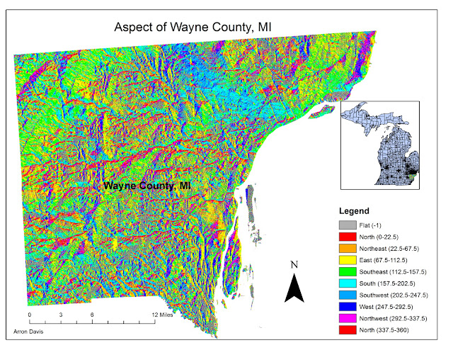 |
| The Aspect tool was used to show the direction of the sunlight that hit the surface in this map |
 |
| And lastly, I converted the DEM into a 3D TIN and this was the result. Since this is Wayne County, the surface is relatively flat, so not much is shown; at least in 3D. |
No comments:
Post a Comment